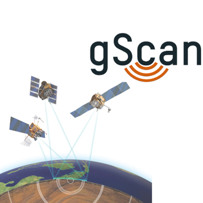
GeoScan Process
Publicly Verified Projects Process
Gold, Electro-Minerals, Oil & Gas, Geo Thermal, and Water
Publicly Verified Projects Process
Gold, Electro-Minerals, Oil & Gas, Geo Thermal, and Water
Publicly Verified Projects Process - For Gold, Electro-minerals, And Oil & Gas

Onboarding of brownfield mining projects/sites around the world

The projects/sites should be close to going into production*

Comparative scan & survey will be done to cross reference and verify the accuracy, After cross verification, the balance of the site will be scanned and surveyed

Smart contract and tokenization process will begin

Site will go into production and the extraction of the minerals will commence
Redefining The Scanning & Surveying Process
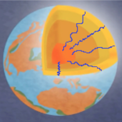
Natural seismic activities “The Hum of the Earth“ leave subtle patterns on the earth’s surface
GeoScan can detect these patterns from satellite images. They are then combined with proprietary approaches of signal processing, statistics and machine learning
GeoScan’s experienced inhouse geologists provide analysis on the occurrence of raw material deposits, minerals, precious metals, geothermal energy and water
Sustainable Exploration Through Satellite Imagery And Artificial Intelligence
Satellite Images and digital data get pulled for a location Source: ESA/NASA/Private Sat Companies Elevation model/bathymetry data.
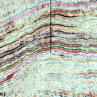
Spectral Analyses, Lineaments, Faults, GeoActivity Zones,
First Run with gScan based on existing data from remote/near areas
Result: Target Indicators
gScan: Creation of 3D mathematical models, applying AI and statistics Result: Where to find and how deep
Minerals: Sampling with concentration Result: Verification and fine-tuning of location
2nd run of gScan Final analysis by AI and experienced geologists Result: Quantification of target material
GeoScan is the sustainable way of exploration. Its non-intrusive use of cutting-edge technology overcomes the challenges of traditional explorations. With its technology gScan, GeoScan avoids drilling permission negotiations, and intensive stakeholder management with political and societal actors. Exploration can be done remotely with industry-leading accuracy level, without any impact on the environment or animal wildlife.
Tokenization Of GeoScan Results
Fiat To Gold To Token Flow


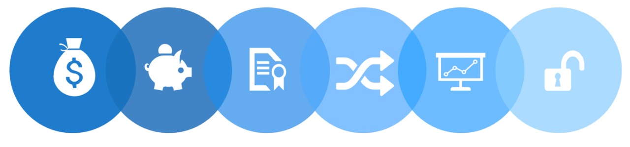
Inserting the Scans & Survey reports and/or shares of the company into an SPV Structure
Depositing the shares of the structure with an approved custodian
Tokenization of the custodian receipts of the structure
The trading of the tokens within the exchange eco-system
Pricing, hedging, and trading of the tokens to optimize profits of the investor
Creation of a second asset class that is globally recognised and tradable within the eco-system of the exchange
* Tokenization of the mining rights will be done by BCXCO subsequent to the scan and audits.
**All parties agree to sell their tokens as per market maker model.